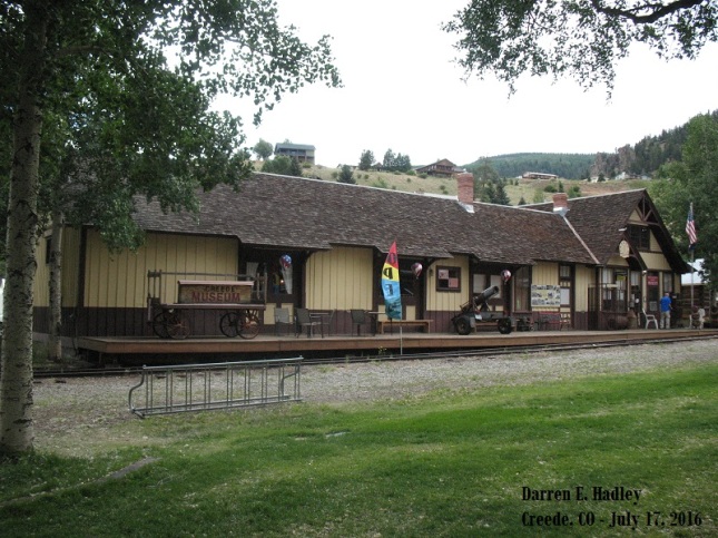
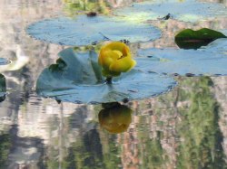
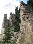
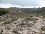
Creede, Colorado – Built 1893
Enjoy a Round-Trip Cab ride while with me as well as seeing many of the other railroad pieces at the Campo facility as we head toward the Mexico border at Tunnel #4. In the first half I will show you a map of our location along the route as we travel backwards and then enjoy full screen view out the window as we head back toward the museum. I also included history of the Southern Pacific Diesel Engine about half way into the video. So, sit back and enjoy this ~30 minute video
 –
– 
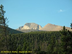
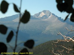
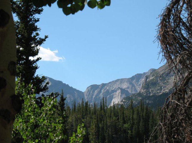
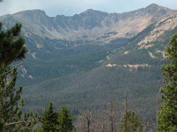
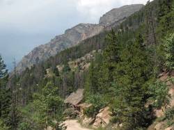
Longs Peak Hallett Peak
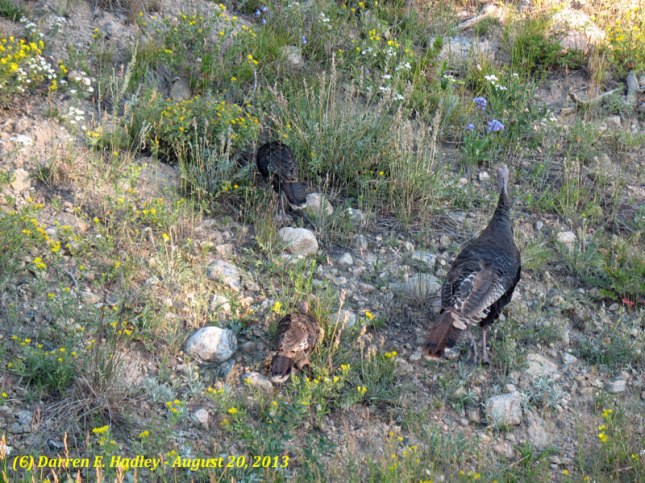
Wild Turkey’s
 –
– 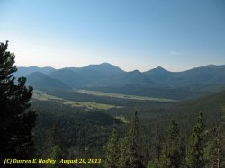
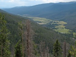
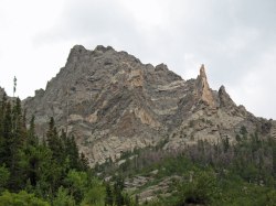
Longs Peak Moraine Park
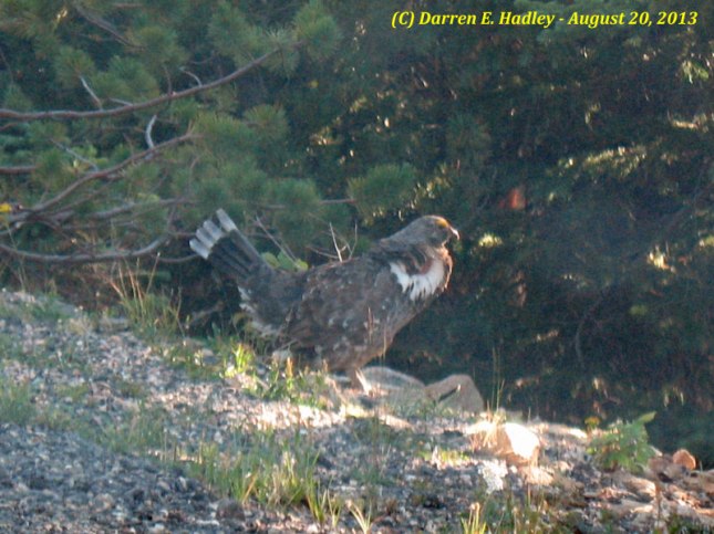
Grouse
 –
– 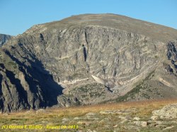
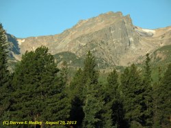
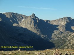
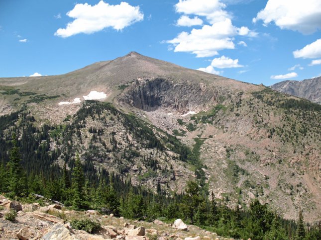
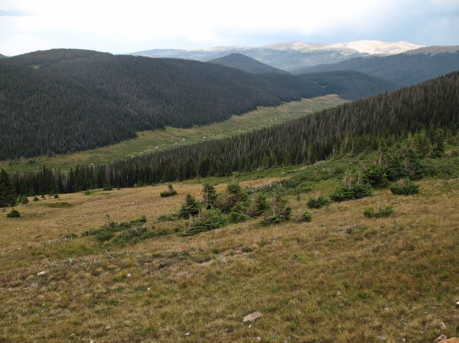
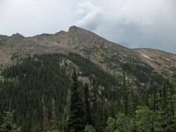
Hayden Spire Terra Tomah
 –
– 
As mentioned in the previous post the other part of the second half of the day was a roadside geology tour. In this post I will show you some of the photos from those stops.
Stop #1: Glacial Till – Terminal Moraine (40 24.113N 105 36.289W)

Stop #2 – Sheep Lakes – Kettles (40 24.271N 105 37.120W)
 –
– 
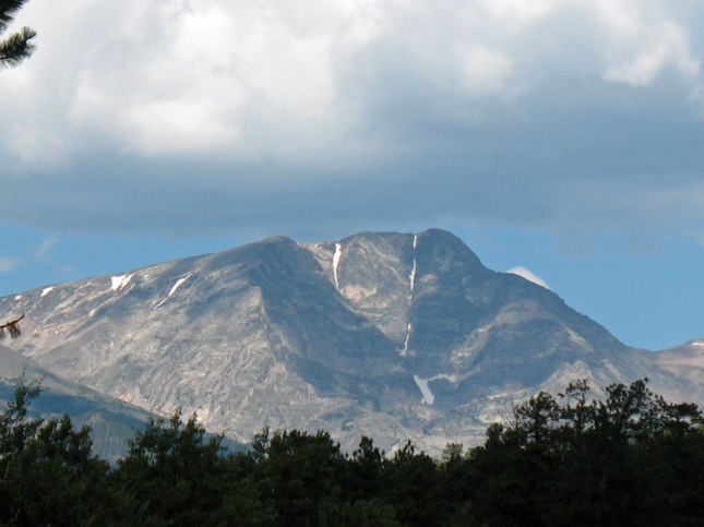
Stop #3: Horseshoe Park – Ypsilon Mnt. – U Shape Valley
 –
– 
Stop #4 – <Nothing found>
Stop #5 – Many Parks Curve – Long’s Peak

Stop #6 – Rainbow Curve / Pika (Animal)


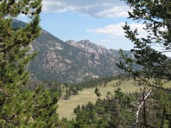
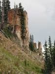
Stop #7 – Forest Canyon Overlook Terra Tomah Mtn
 –
– 
 –
–  –
– 
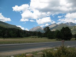
The second half of the day was a mixture of a roadside geology tour and a lets stop here for a few photos. So, let me start by first showing some of the photos we took at random locations
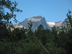
Our first stop is for a Picnic near Sprague Lake with Hallett Peak in the distance
 –
– 
We will stop along Highway36 for views of Ypsilon Mnt.
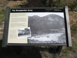
We will find a turnout (40.389431° / -105.611730°) that talks about the “Woodpecker Army” that did allot of work within the park
 –
– 
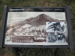
We stop at a sign around West Horseshoe Park that talks about Horseshoe Inn that was once here
 –
– 
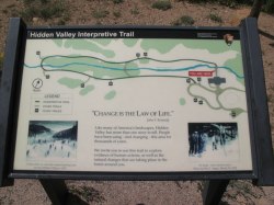
We stopped at Hidden Valley and decided to leave this trail for another day
 –
– 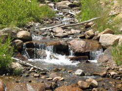
One more photo to share in this post before showing the roadside geology tour
On on second day we head into an area know as Bear Lake and with our early morning start we catch one of the reasons for this name…
We will reach the trail head at ~7:30AM and take the left path where most that travel here go right to Bear Lake itself and then turn back.
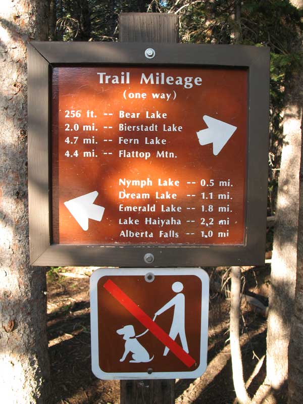
Our first planned photo stop is Nymph Lake which takes us about 20 minute to reach since do stop to enjoy the views and take photos along the way,
About an hour into our morning hike, we reach a point on this path where you can split off toward Lake Haiyaha as well as Bear Lake but we are not headed toward either on this hike.
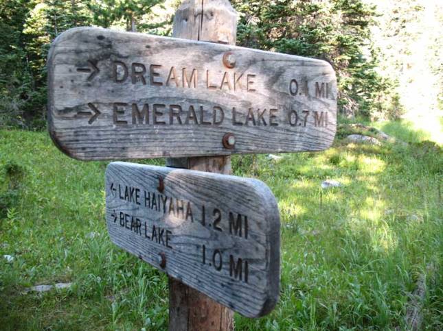
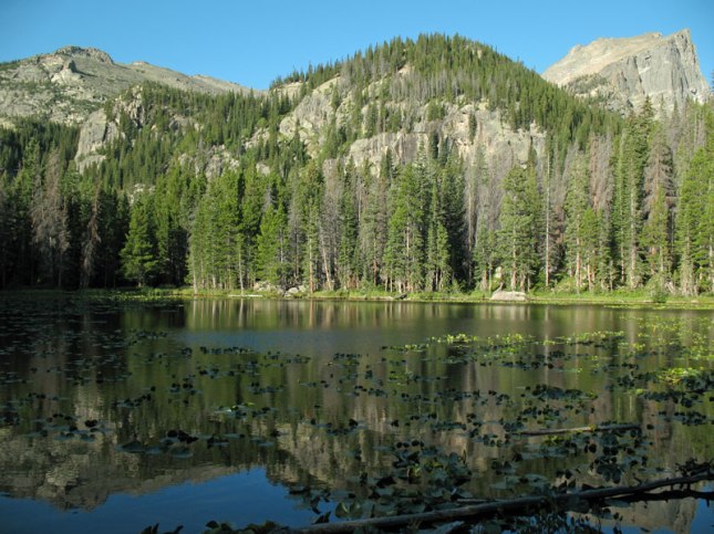
We will reach Dream Lake a few minutes later…
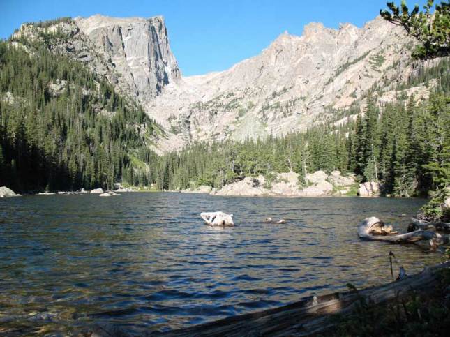
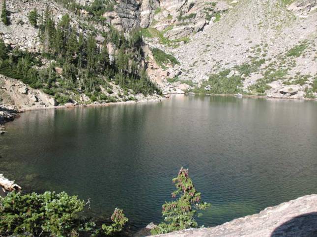
Onto Emerald Lake next which puts us about 2 hours into the hike now. Yea, a slow pace but we enjoy the journey as much as the destination…
Time to head back but we will also enjoy the hike down as well as the light change changes the views. So, here we are back at Dream Lake around 10AM.
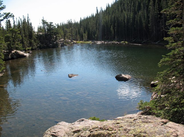
Around 10:30 we get back to Nymph Lake
 –
– 
We are back to the Trail Head at 10:45 and the parking lot is “Packed”; sure glad we started early.
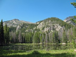
Now you might ask what views between the lakes was there to see; who about this one…
Time to go enjoy more of the park in others areas which will be covered in our next post…
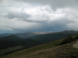
To complete the day we still need to get down from the pass; especially with the clouds rolling in…
 –
– 
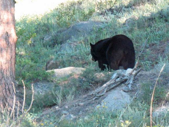
Spot some wildlife just off the roadway but no good place to stop so a shot out the window and keep going…
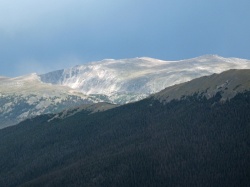
Time to stop at an Overlook and enjoy some of the views of the park…
 –
– 
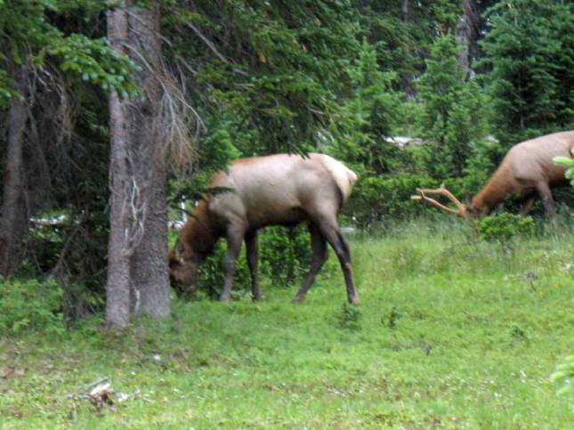
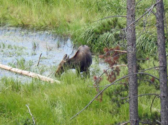
As we get to the lower altitudes we get into Moose territory and bingo we see one…
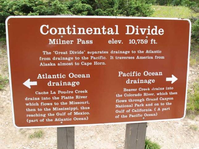
We reach the point along the route were we cross over the Continental Divide at 10,759ft above Sea Level
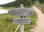
Just enough time left in the day for a short hike along the Ute Trail…
 –
–  –
– 
Day one over but we still have two more days to share with you still to come…
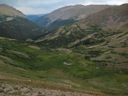
As we continued our drive on Old Fall River Road, we will enjoy nearly every turn-out we find and then some…
 –
–  –
– 
 –
– 
Find another local going about it’s daily tasks as if not to care we were taking photos…
 –
– 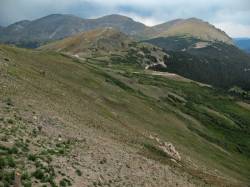
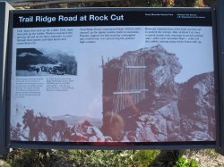
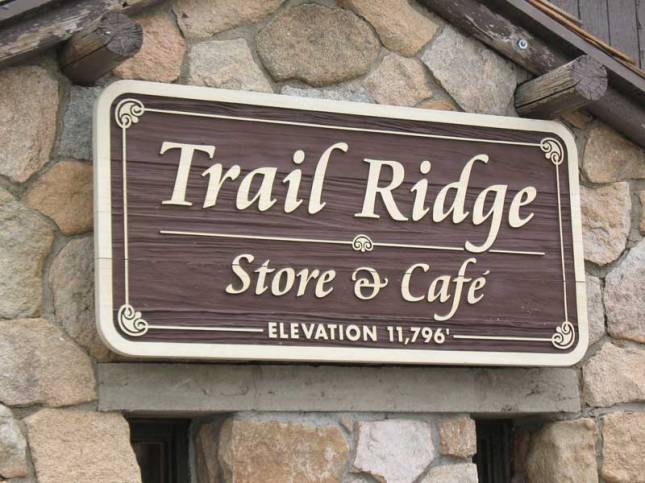
We then reach the top of Trail Ridge behind the Store and Cafe at an elevation of 11,796 feet…
Well, we are at the top so it’s Lunch and then more stops along the way down but that’s the next post…
On August 18 we head to our “Back Yard” to enjoy a mini three (3) day vacation in Estes Park
We will head into the park via US 34 in the Big Thompson Canyon and stop to take some photos along the way. One of those stops is at the Big Thompson Canyon Flood Memorial located at 40 25.787N 105 18.956W.
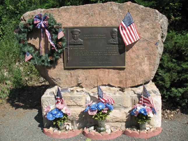
In Memory Of
Sgt. W. Hugh Purdy / Michel O. Conley
Colorado State Patrol / Estes Park Patrolman
They Gave Their Lives To Save The Lives Of Others
The Night Of July 31, 1976 When More Than 140 Persons
Died In The Great Flash Flood of Big Thompson Canyon.
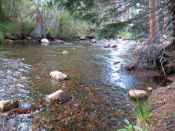
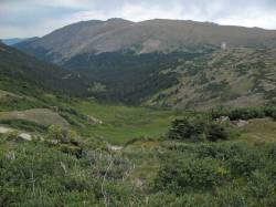
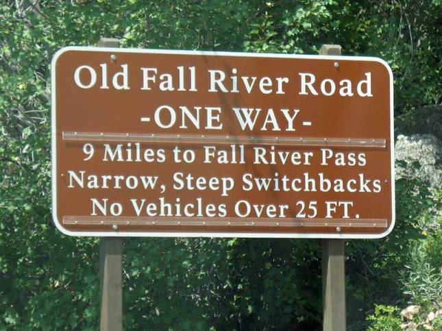
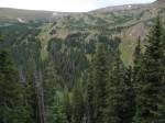
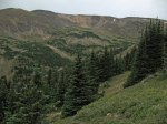
After entering the park, we will take the “Old Fall River Road” which today is a One-Way route with wonderful views all along the route. Here is just a small sample of the beautiful scenes long the initial section plus a friend we found at one stop.
 –
– 
 –
– 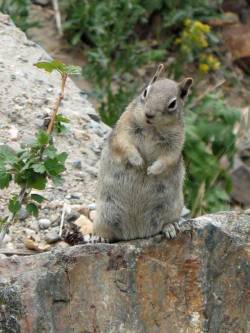
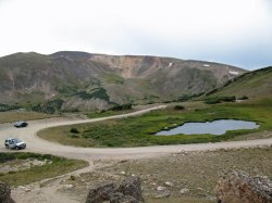
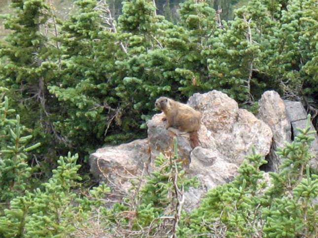
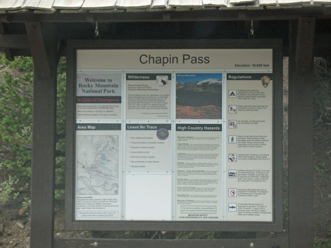
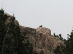
We will reach Chapin Pass at 40 26.089N 105 43.821W with an elevation of ~11,000 feet. Here too we see another friend in the distance enjoy the morning sun on a rock face…
 –
–  –
– 
We will continue on up the road in the next post…
It’s another great Colorado Railroad Museum Open Car day and yes RRAdventures was there!
While we waited for the volunteers to get the cars opened up we enjoyed the D&RGW #346 make a Run-By…
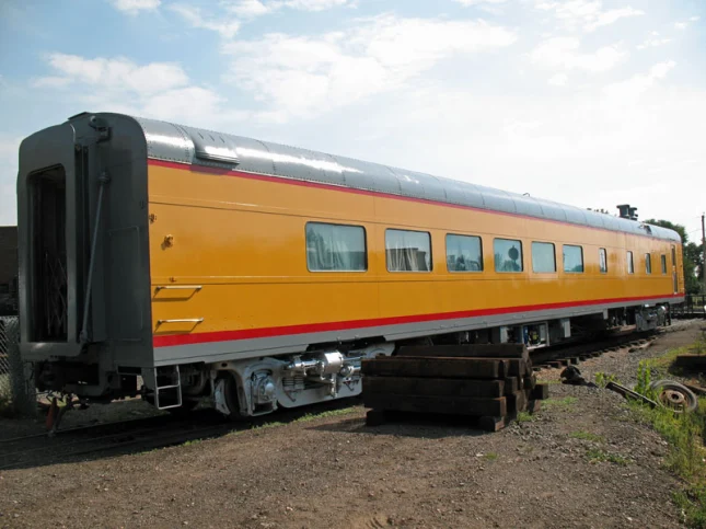
UP Diner No. 4801
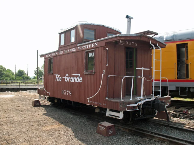
D&RG Caboose No. 0578
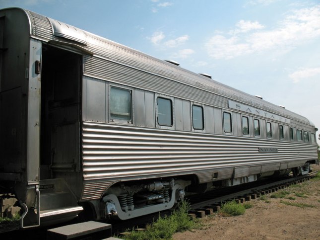
AT&SF Observation Car Navajo
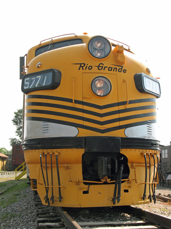
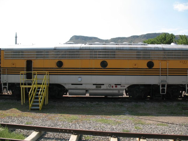
D&RGW Dielsel Engine A & B Unit Nos. 5771 & 5762
Union Pacific Coach No. 5442 was also open but since we also had the opportunity to tour it’s interior at a previous event ( 2013 – Colorado Railroad Museum – Open Car Day (MAR) ) we skipped it on this day.
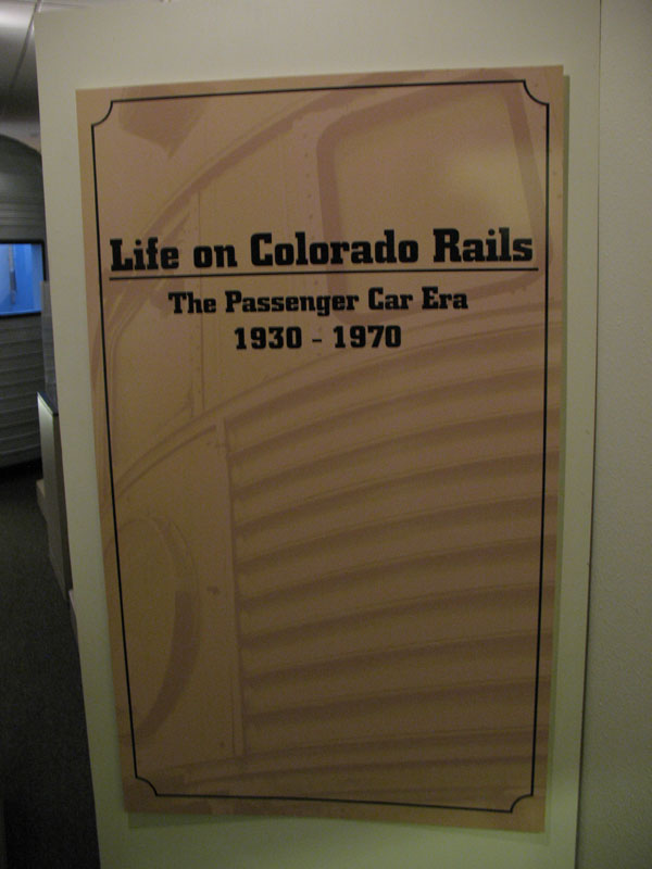
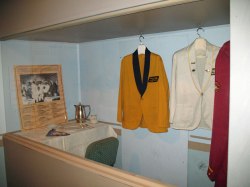
Down in the basement, there was also a display going on called: Life on Colorado Rails
 –
– 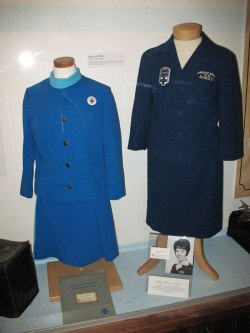
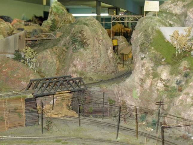
Have to also stop by the Denver HO Model Railroad Club also here in the basement
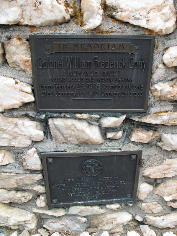
We have not been to Buffalo Bill’s Grave for a long time so we also made a stop there while in town too…

Eldorado Canyon State Park - Tunnel #8
